
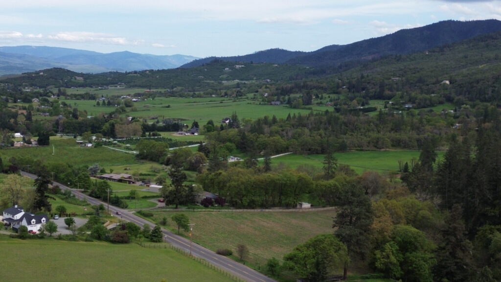
Explore Our Commitment to Capturing Southern Oregon’s Beauty
At Drone It, we are dedicated to delivering professional aerial photography with transparent pricing, showcasing the unique landscapes of Southern Oregon. Our mission is to provide reliable, FAA-certified services that enhance real estate, vineyards, golf courses, and construction projects through stunning visuals.
By elevating your perspective, we don’t just capture images—we tell your story from
above, bringing your vision to life with precision, creativity, and impact.
Let’s get to know eachother!
Hi! I’m Tatiana Fon,
FAA Certified Remote Pilot
While working in field inspection services for real estate, I quickly realized a common problem—many jobs couldn’t be fully completed due to obstructions like gates, fences, or restricted access.
On one particular assignment, I was told to “do the best you can.” I did exactly that—only to have my report denied and go unpaid because I couldn’t capture one final required photo.
That moment changed everything.
I realized that with a drone, I could have safely and efficiently captured that missing shot—and delivered a complete, approved report.
Determined to create a better solution, I reinvented myself and enrolled at Pilot Institute. Through the FAA Part 107 Made Easy program, I earned my Remote Pilot certification, passing the FAA Part 107 exam in June 2025 with a 92%. Since then, I’ve committed to flying and training consistently, focusing on precision, control, and professional-quality photography and videography. My goal is simple: deliver
reliable, efficient, and high-quality aerial imagery solutions my clients can count on.
Based in Southern Oregon, I specialize in supporting:
-Real estate marketing
-Construction progress and site documentation
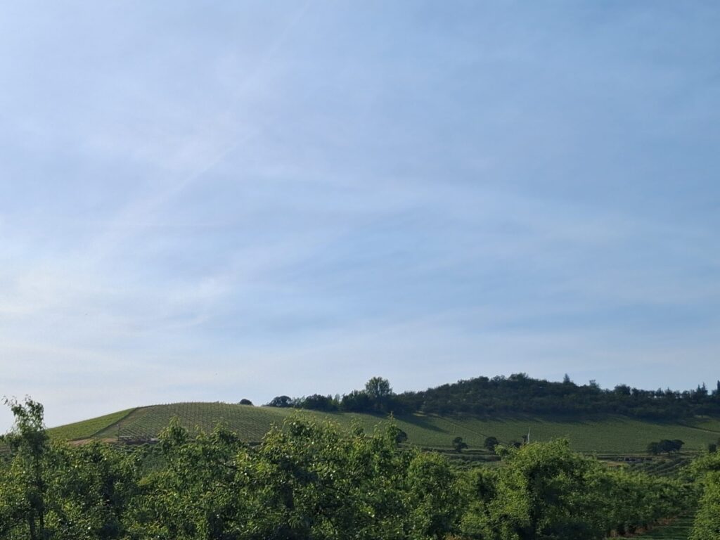
-Vineyards and agriculture properties
-Golf courses and tourism-focused visuals
From the rolling vineyards of the Rouge Valley to te evolving landscape of construction sites, I am passionate about captuing stories from above.
My mission is to become your trusted aerial partner—delivering the shots others can’t,
with professionalism, transparency, and speed.
Drone It. Elevated perspectives. Trusted results.
Fly Above Expectations with Drone It
Join me on a journey to capture Southern Oregon’s beauty through expert aerial photography. Learn how our transparent pricing and FAA-certified pilots deliver stunning imagery for real estate, vineyards, golf courses, and more.
Copyright © 2026 Drone It. All Rights Reserved.
Designed by Stephanie F. Graff
CraftingInPearls.etsy.com | Craftinginpearls@gmail.com